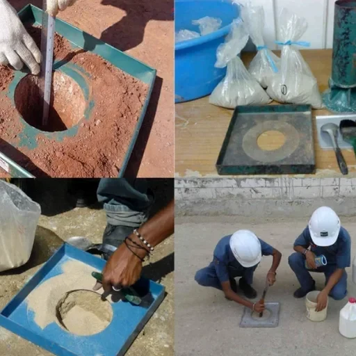
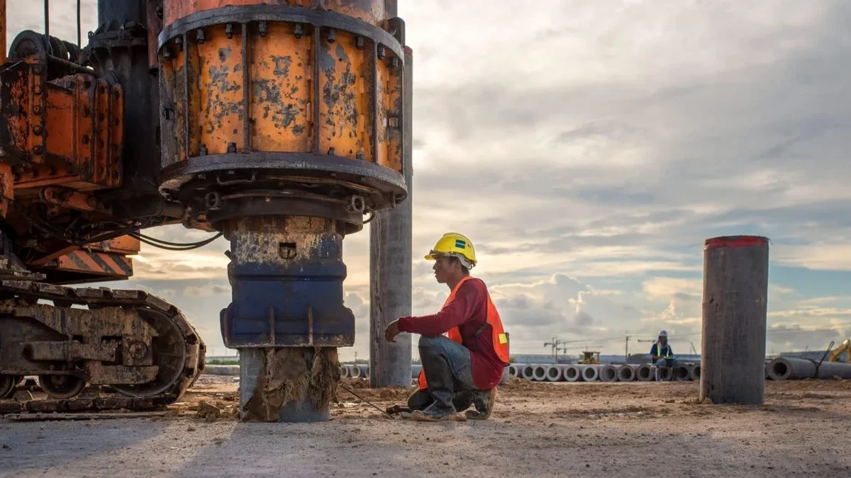
The laser level and total station are the first instruments you see on a Surrey retaining wall site, but the real work begins with the drill rig. We mobilize track-mounted geotechnical drills across the Fraser River lowlands to extract the soft, compressible silts and clays that define this city's subsurface. It is not just about holding back soil. In Surrey, where the topography shifts from the upland glacial deposits of South Surrey to the floodplain organics near the Serpentine River, a wall must be designed as a calibrated structural response to lateral earth pressure, seasonal groundwater fluctuation, and the ever-present seismic demand. When we set up the inclinometer casing behind a proposed wall alignment, the data feeds directly into a slope stability analysis that captures the deep-seated failure planes common in the marine clay deposits here.
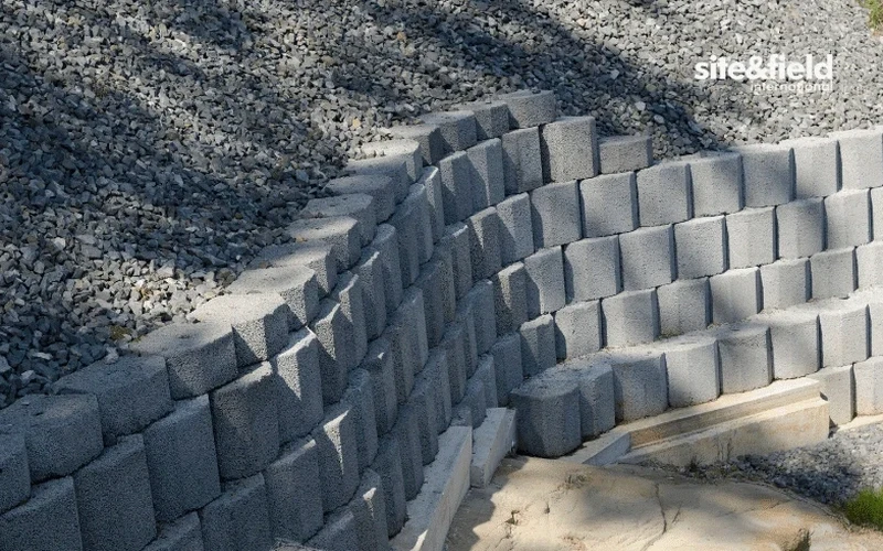
In Surrey's soft clays, a retaining wall is only as reliable as the drainage system behind it—hydrostatic pressure, not backfill weight, accounts for most failures we investigate.