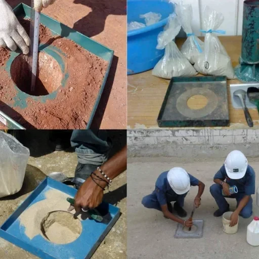
The Surrey uplands and the Nicomekl-Serpentine floodplain present a stark contrast in subsurface drainage conditions, which directly dictates how we approach a field permeability test (Lefranc/Lugeon). Glacial till overlying sedimentary bedrock creates perched water tables on slopes, while the lowlands contend with compressible marine clays and peat. For a city that has grown by over 100,000 residents in the last two decades, infrastructure expansion onto these challenging soils demands accurate hydraulic conductivity values. A standard borehole log alone won't tell you how water moves through a sandy lens or a fractured mudstone contact. We run these tests to quantify the coefficient of permeability (k) in situ, providing the data engineers need to design effective dewatering systems for deep excavations or to verify that a stormwater infiltration gallery will actually drain before the next Pacific frontal system arrives.
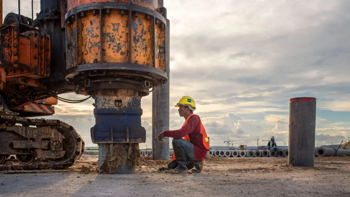
A single Lugeon test in Surrey's fractured bedrock can reveal more about drainage and grout take than a dozen lab tests on intact core.