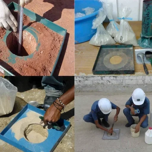
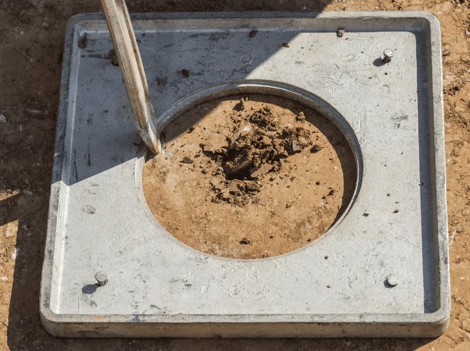
Surrey sits on approximately 316 square kilometers of terrain shaped by the Fraser River, and much of the city's low-lying land rests on loose, saturated sand and silt deposits. The 1946 Vancouver Island earthquake, magnitude 7.3, generated ground motions felt strongly here, reminding local engineers that seismic risk is not abstract. A soil liquefaction analysis in Surrey must account for this recent alluvial geology: when cyclic loading hits, pore water pressure rises and effective stress collapses. We combine in-situ field testing with advanced cyclic laboratory programs to quantify the factor of safety against liquefaction triggering. Before drilling starts, a CPT test provides a continuous stratigraphic profile with tip resistance and sleeve friction data, while Sondaje SPT recovers disturbed samples for grain size characterization critical to the assessment.
Liquefaction is not a yes-or-no condition: it is a settlement, lateral spread, and bearing loss calculation that must be quantified per layer.