GEOTECHNICALENGINEERING
SURREY

Geotechnical Engineering in Surrey

Technical studies that support your project.

LEARN MORE

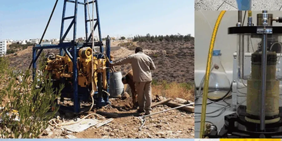
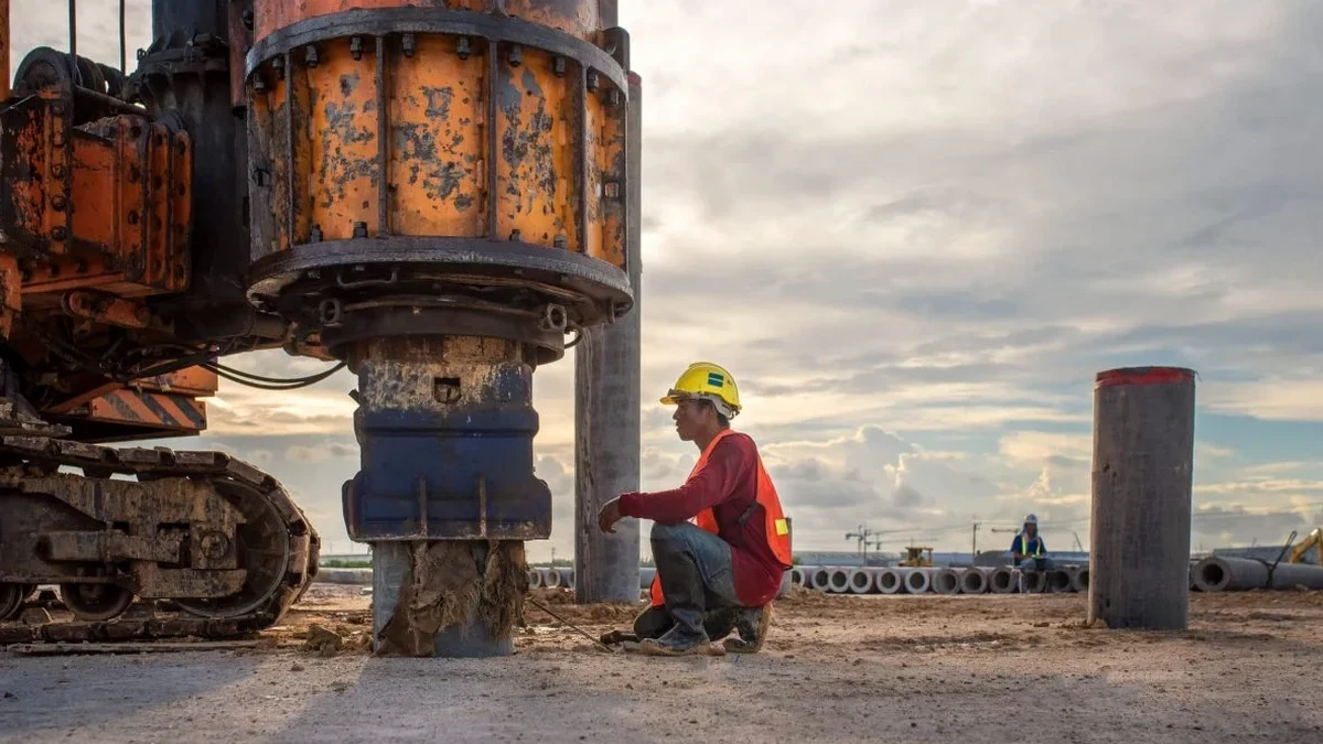
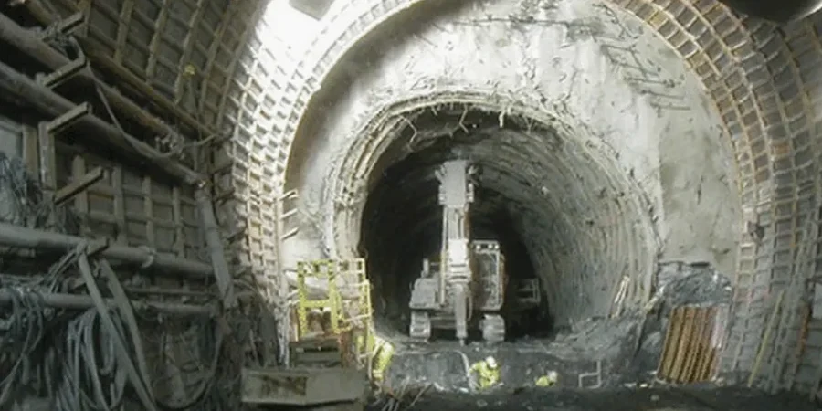
Surrey sits on a complex glacial footprint where Pleistocene till overlies deeper marine clay deposits, a stratigraphy that produces sharp bearing capacity variations across short distances. The 2020 NBCC places Surrey in seismic category D with peak ground acceleration values exceeding 0.35g in certain neighborhoods. These conditions demand a soil mechanics study that goes beyond index properties: undisturbed sampling, triaxial compression with pore pressure measurement, and consolidation history are essential to model settlement and strength reliably. Our laboratory runs these programs on Shelby tube specimens extracted from depths of 4 to 25 meters, capturing the transition from desiccated crust to normally consolidated clay. For granular layers encountered at higher elevations near the Serpentine River, we integrate in-situ density verification with advanced shear stage testing.

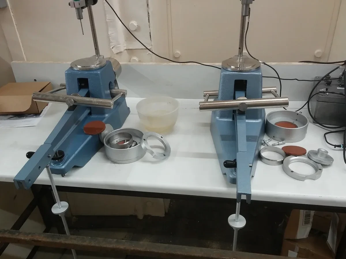
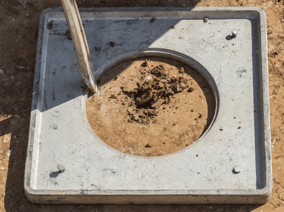
Interpreting Surrey's glacial stratigraphy requires consolidation testing that captures the preconsolidation pressure of both the desiccated crust and the underlying soft marine clay.
Geotechnical Engineering in Surrey
Technical reference — Surrey

Our service areas

Local geology

The contrast between South Surrey's sandier upland terrain and the low-lying Cloverdale basin illustrates why no single testing profile fits the city. South Surrey formations often contain dense Sumas till with N-values above 30, where drained strength parameters from large direct shear boxes define the bearing capacity envelope. Cloverdale, by contrast, sits on compressible marine silts and clays that require incremental oedometer loading and pore pressure dissipation analysis to predict primary consolidation settlement under mat or deep foundation loads. The soil mechanics study bridges these two regimes through a staged program: classification testing including Atterberg limits and grain size distribution first, followed by strength and compressibility testing calibrated to the specific stratigraphic unit encountered in each borehole. For projects near the Nicomekl floodplain, we also recommend a complementary liquefaction assessment when the groundwater table lies within 2 meters of the proposed footing elevation.

Reference standards

NBCC 2020 – Division B, Part 4 for seismic site classification, CSA A23.3:19 – Annex L for geotechnical input to concrete foundation design, ASTM D4767 – Consolidated undrained triaxial compression with pore pressure measurement, ASTM D2435 – One-dimensional consolidation properties of soils using incremental loading, ASTM D2487 – Unified Soil Classification System for field and laboratory classification

Need a geotechnical assessment?

Reply within 24h.

Email: [email protected]

Why choose us

Surrey's transformation from agricultural grid to rapid infill development since the 1990s left a legacy of undocumented fill placement across former drainage courses. Many lots in Newton and Whalley contain 1.5 to 4 meters of uncontrolled fill over compressible native soil, a condition that triggers differential settlement when shallow footings are placed without ground improvement. A soil mechanics study detects these layers through moisture content profiling and visual classification before structural design proceeds. The second risk factor is post-peak strength loss in sensitive marine clays: remolding during excavation can reduce undrained shear strength by 40 to 60 percent. Our laboratory quantifies sensitivity through fall cone and vane shear comparisons on intact versus remolded specimens, providing the design team with both peak and residual parameters for slope stability and shoring analysis.

Technical parameters

ParameterTypical value
Undrained shear strength (su) from UU triaxial25–120 kPa depending on depth and OCR
Effective friction angle (φ') from CD triaxial on till32°–38°
Preconsolidation pressure (σ'p) from oedometer80–300 kPa
Compression index (Cc)0.15–0.45
Coefficient of consolidation (cv) at 100 kPa2–15 m²/year
Soil unit weight (γ)17.5–21.0 kN/m³
Standard Proctor maximum dry density (till)1,950–2,100 kg/m³

Frequently asked questions

How many borehole samples are needed for a representative soil mechanics study in Surrey?

The number depends on site area and stratigraphic variability. For a typical single-family lot in Surrey, three to four boreholes with continuous sampling through the upper 15 to 20 meters usually capture the contact between fill, glacial till, and underlying marine clay. Larger commercial sites often require a grid of six to eight boreholes with select Shelby tube intervals for consolidation and triaxial testing.

What is the typical turnaround time for laboratory testing?

Classification testing can be completed within 5 to 7 working days after sample delivery. Consolidation and triaxial strength testing require longer due to saturation, consolidation, and shear stages — typically 3 to 4 weeks for a complete suite. We provide preliminary index results early so that foundation type selection can move forward while the advanced tests are running.

Does the soil mechanics study include seismic site classification per NBCC?

Yes. We determine the average shear wave velocity in the upper 30 meters through either direct MASW or seismic refraction surveys, or through correlation with SPT N-values from standard penetration testing boreholes. The resulting Site Class (C, D, or E) is reported along with the corresponding spectral acceleration values for Surrey's seismic demand level.

What does a soil mechanics study cost for a residential project in Surrey?

For a residential project in Surrey, a complete soil mechanics study including drilling, sampling, classification, consolidation, and triaxial testing typically runs between CA$4,560 and CA$6,090. The final figure depends on the number of boreholes, the depth of sampling, and the specific testing matrix required by the geotechnical engineer of record.

Location and service area

We serve projects in Surrey and surrounding areas.

View larger map