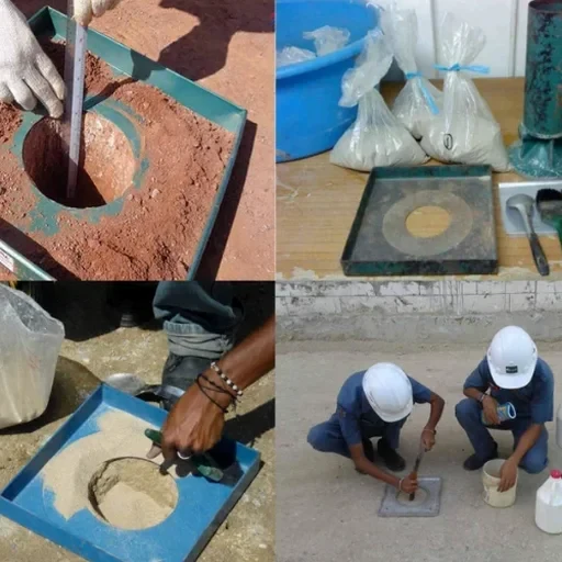
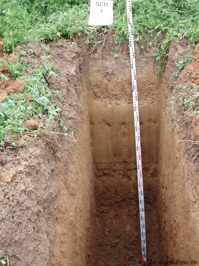
A Caterpillar 308 compact excavator with a 24-inch smooth bucket cuts through the topsoil behind a commercial lot in Surrey’s Newton district, opening a 3.5-metre-deep section into the Vashon till that underlies much of the city. The excavation exposes a sequence of stiff silty clay over dense glacial drift, with groundwater seeping in at the contact zone roughly two metres below grade. In Surrey, where the Pleistocene and Holocene deposits of the Fraser Lowland can shift from soft compressible silts to hard lodgement till within a single property, an exploratory test pit gives the geotechnical team a direct view of layering, moisture conditions, and excavation stability that no borehole log can fully reproduce. The field crew photographs the face, records stand-up time, and collects bulk disturbed samples for index testing back at the ISO 17025-accredited laboratory, building a visual record that informs footing design, utility trench safety, and construction-phase decisions. For projects near the Nicomekl or Serpentine River corridors, where organic peat layers complicate bearing conditions, test pit data often triggers the need for complementary in-situ permeability testing to evaluate drainage before foundation excavation proceeds.
A single test pit wall exposes more about Surrey’s glacial stratigraphy than a dozen split-spoon samples ever could.